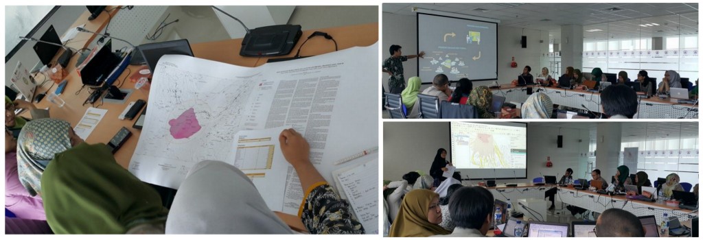
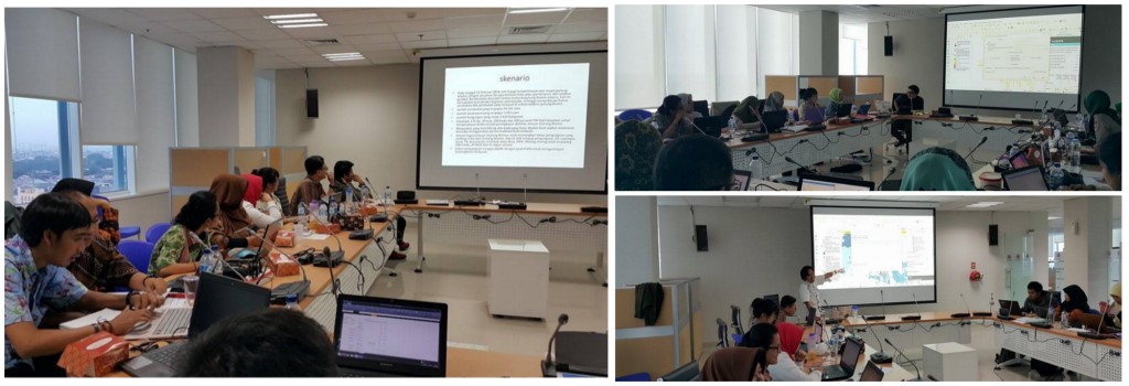
After teaching InaSAFE for Risk Assesment to National Disaster Management Agency (BNPB) in last December 2015, Disaster Management Innovation (DMI) helped by Humanitarian OpenStreetMap Team (HOT) Indonesia come back to help BNPB to teach InaSAFE for some of BNPB staff. Now, InaSAFE will be delivered to participants in context of to help them for making Contingency Planning.
This training will be tauhgt to BNPB staff in Deputy 1 who come from 3 directorates. They are Preparedness Directorate, Disaster Risk Reduction Directorate and Community Empowerment Directorate with total of participant is 24 people. This InaSAFE training aims to strengthen BNPB staff capacity especially in terms of making contingency planning and show some benefit of InaSAFE itself in context of making Contingency Planning as well.
This training was held for 2 days from February 11st until February 12nd 2016 and located at Graha BNPB, Pramuka, East jakarta. Training started at 09.30 until finish. Facilitators for this traning were Fredy Chandra and Adi Kurniawan from Disaster Management Innovation (DMI) and Harry Mahardhika serta Elida Nurrohmah from Humanitarian OpenStreetMap Team (HOT) Indonesia.
In general, this training divided into 2 big frames. First was to make participant understand about concept of contingency planning and its relation with their own work. Second frame was to introduce them InaSAFE and its function which can be applied by them to make scenario of contingency planning. This training also as an intial step for Ambon Direx activity which will be held in the near future. The training using data of Bromo Volcano and Raung Volcano as training data data and used by participant to make scenario contingency planning for those volcano.
This training was not really technical training because participants mostly involved into discussion and calculate impacted data from Bromo Volcano and Raung Volcano hazard. The participant divided into 2 big groups where each group has one volcano to be calculated for its impact and make contingency planning of it. From there, each group has given printed map of Hazard Zone Bromo Volcano and Raung Volcano as their disscussion tool . They have to answer some questions below from that map.
- What objects that affected from that hazard? How many?
- What is needed to cope with that hazard?
- How many minimum needs have to be provided?
After disscuss and try to answer some questions using their printed map, the participant now try to answer those questions using InaSAFE. They taughted simple steps about how to add data that needed and then running the scenario in InaSAFE until they get result for affected objects of the volcano hazard such as building, infastructure, people, road and land use. Those data later will be used by each group to make their contingency planning.
The training closed with presentation from each group. They present their contingency planning scenario based on data that they get from InaSAFE. Main goal from this training is to give participant empirical experience to directly involved to make a contingency planning and using InaSAFE to get data that can be used in their contingency planning as well. Contingency planning that have been made based on actual data not based on assumption and estimation. Therefore, the disaster management scenario on it can be more accountable and trusted.


